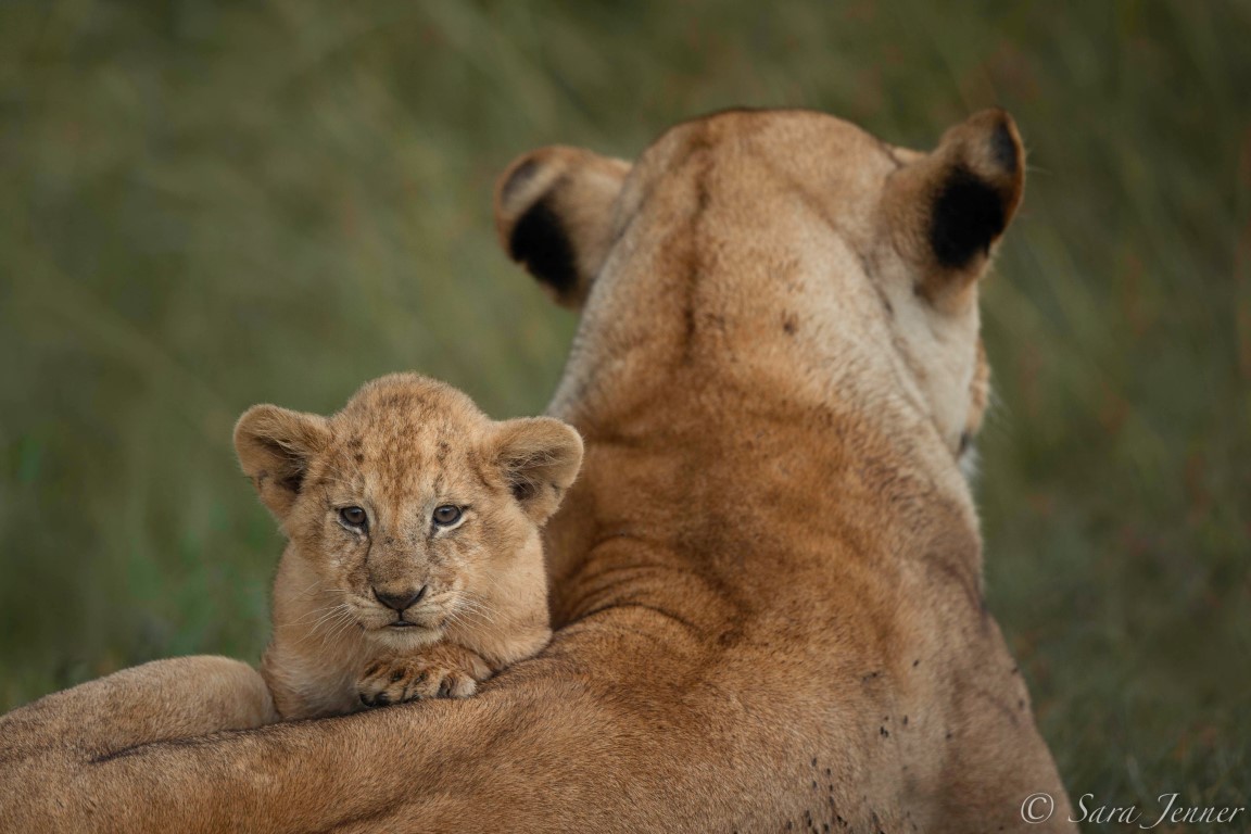
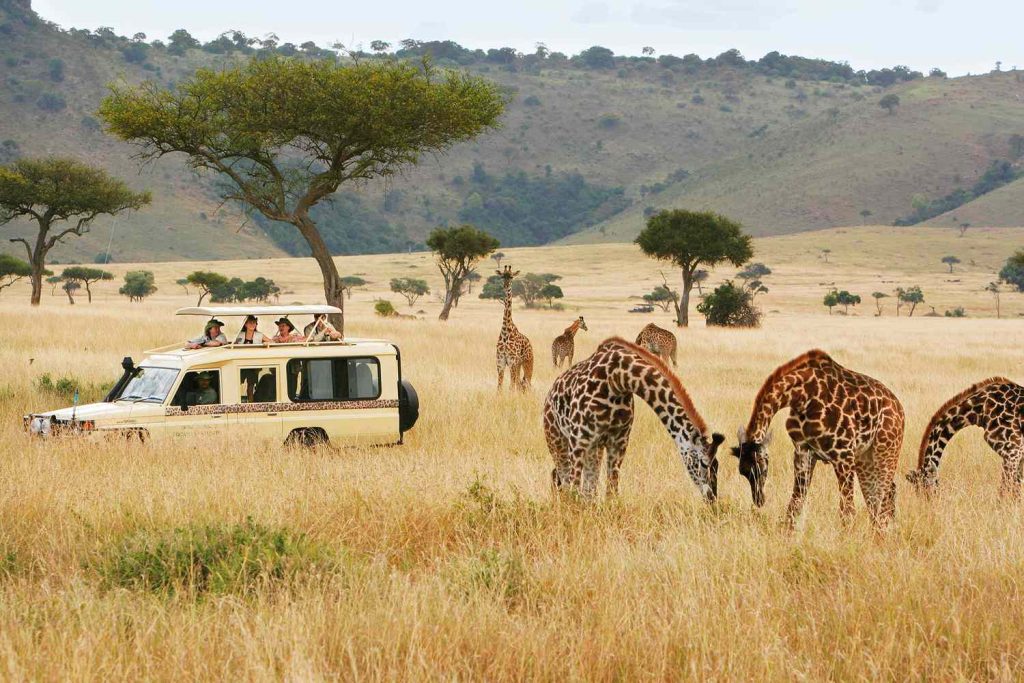
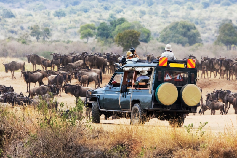
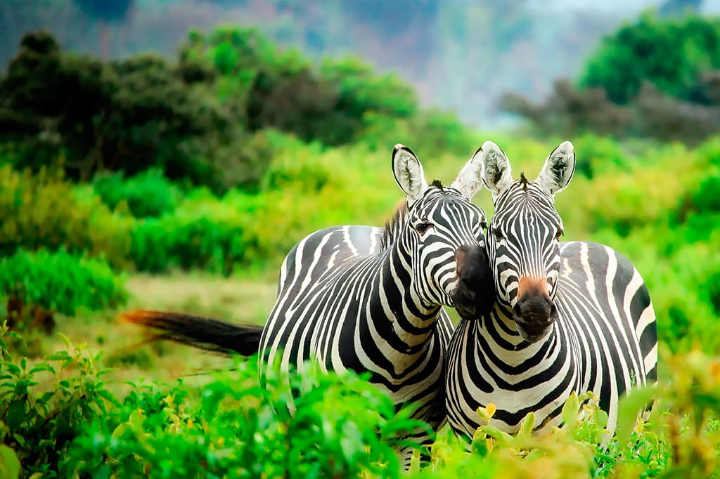
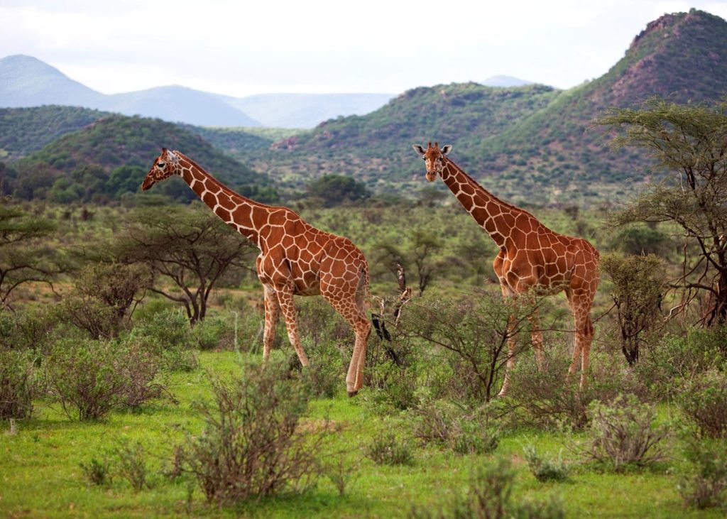
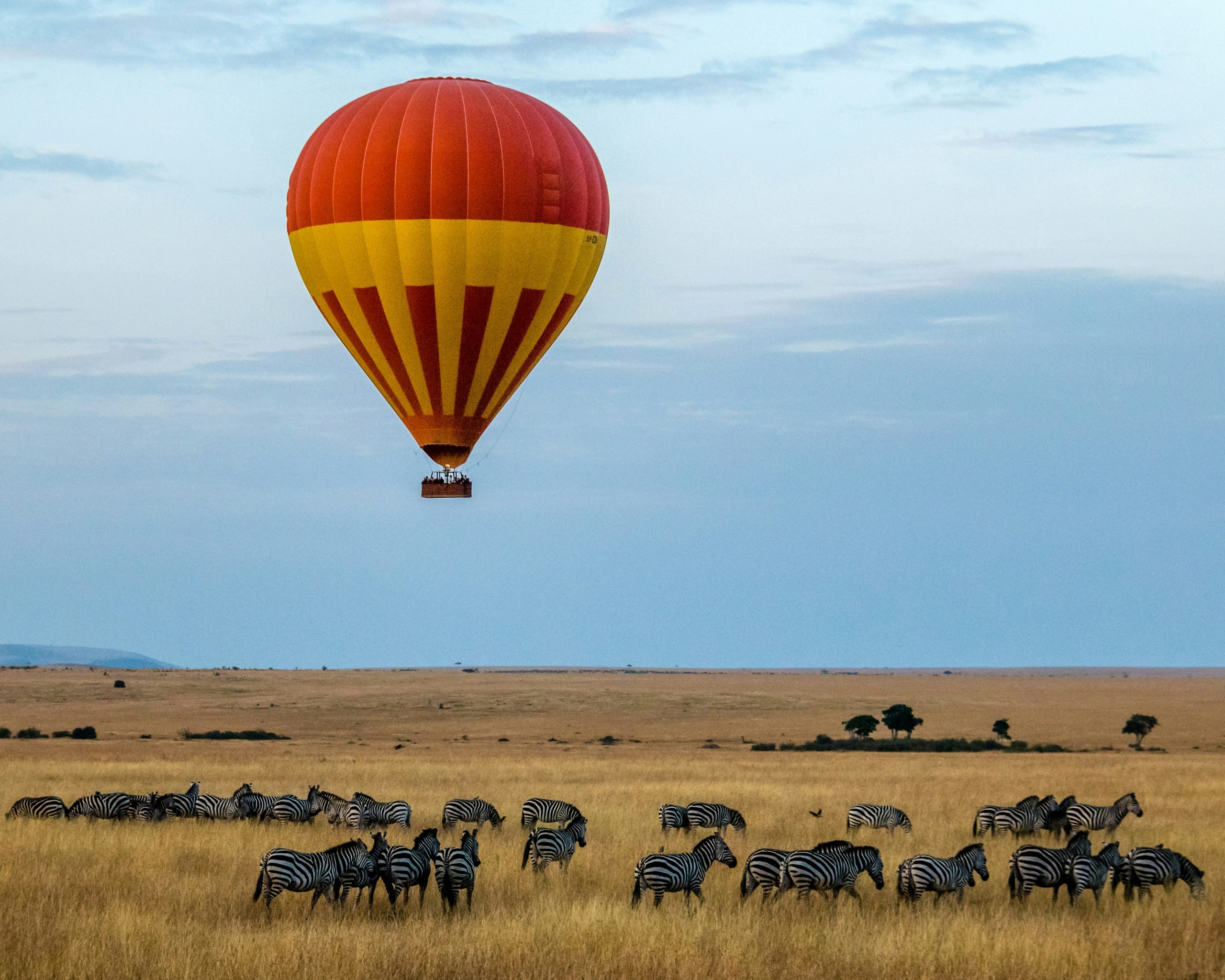
Kenya is the country where safari was born. Discover the dramatic Great Rift Valley, mountain highlands or the coastline of the Indian Ocean with its white sandy beaches. Kenya is also home of the Big Five and you will experience close encounters with lions, elephants, rhinos and many other wildlife. Book your safari to the world famous Masai Mara Game Reserve or Amboseli National Park, offering spectacular views Mt. Kilimanjaro towering at 5,895m. Karibu – Welcome!
Kenya has a total of twenty six National Parks and twenty nine National Reserves. All of them occupy a total area of 44,359 sq. kilometers or 7.5% of the total area of the Republic (582,644 sq kilometers). They range from marine national parks, savanna-bush woodland national parks, mountain national parks, arid and semi-arid national parks, to lake ecosystem national parks/reserves. It is not easy to place Kenya’s national parks and reserves in order of merit in their value of attractions. Every park and reserve and park is unique in its diversity of attractions and no park or reserve resembles another. To a visitor, there is no difference between a national park and a national reserve. The difference is official and technically bases on the establishment status due to the title of the land; and has nothing to do with touristic attractions.

National Parks
Aberdare National Park (715 sq. km)
Situated ten kilometers north-west of Nyeri town and about 165 kilometers from Nairobi, the Aberdares range was first recorded by Joseph Thompson in 1883. It is part of an ancient group of extinct volcanoes about 100 kilometers north-north-west of Nairobi which rise to a height of 3998 meters (13,120 ft.). Both Mt. Kenya and the Aberdares form the highest peaks of the Kenya Central Highlands and also the country’s major water catchment areas. They were set up as National Parks in 1949 and 1950 respectively for the protection and preservation of their indigenous forests as a water catchment areas, as well as the wildlife splendor, scenic moorlands and Mountain Climbing adventures.
Amboseli National Park (392 Sq. Km)
A vast area stretching from the present Masai National Reserve through Amboseli and then down to Tsavo National Park in the then Ukambani Province was established as the Southern Game Reserve in 1899. However in 1948, Amboseli’s 3,260 sq. kms. was cut from the larger Southern Game Reserve and made a separate National Reserve under the then Royal National Parks of Kenya Organisation and named “Masai Amboseli Game Reserve” to ensure that both the Maasai and wildlife co-existed peacefully in the area.
Arabuko-Sokoke Forest Reserve (417 sq km – 161 sq miles)
Location: Coast – 100 km (62 miles) from Mombasa
Altitude: 198 metres (650 feet)
First opened: January 1976
Two forest reserves — the Arabuko-Sokoke at the coast and the Kakamega in Western Kenya — are interesting not just for their tree and plant life, but for the many other species which make them their home.
The Arabuko-Sokoke was the first to be set aside, the largest surviving coastal dry forest in East Africa. With adjoining Mida Creek it provides an ecosystem of great diversity, and an important habitat for some unique and endangered species. Among the mammals, birds, butterflies, amphibians and 600 different kinds of plants to be found, there are some which are not found anywhere else in the world. As such, it has attracted international interest and concern.
Arawale National Reserve (533 sq km – 206 sq miles)
Location: Eastern Kenya, east of the Tana River
Altitude: 85 – 100 metres (279-328 feet)
First opened: 1974
Arawale and its surrounding country is important as one of only two remaining world locations – both in Kenya – where Hunter’s hartebeest (Damaliscus hunteri) are found, the world’s most endangered antelope. The other is in the Tsavo East National Park into which some have been translocated.
The name for Hunter’s hartebeest in Kenya is the rather more attractive ‘Hirola’ and the two small groups in Arawale and Tsavo are all that remain of a species which once ranged the whole African continent. The Hirola is distinguished from other hartebeest — the Coke’s (Alcelaphus buselaphus cokei), the Jackson’s (Alcelaphus buselaphus jacksoni) the Lelwel (Alcelaphus buselaphus lelwel) and Lichtenstein’s (Alcelaphus lichtensteini) by its elegantly-shaped horns and the white chevron between its eyes. It is also smaller.
Bisanadi National Reserve (606 sq km – 234 sq miles)
Location: Eastern Province, Isiolo District, adjacent to the north-east boundary of Meru National Park. Bounded by the Tana and Bisanadi rivers.
Altitude: 320 – 660 metres (1,050 – 2,165 feet)
First opened: September l979
This is a little-visited reserve, part of a 5-park complex which includes the Meru and Kora National Parks and the Rahole and North Kitui (Mwingi) National Reserves.
Here, where the Tana, Bisanadi and Kinna rivers form the natural boundaries of the reserve, the monotony of the encircled dry open plain is dissected by seasonally dry luggas and thorny bushland merges into wooded grasslands. Dense forests of doum and raffia palm line the rivers and watercourses, and for the keen botanist, a teasing variety of sedges green the riverine swamps. In the wet season, the reserve acts as the dispersal area for wildlife from Meru National Park, mainly elephant, buffalo and plains game.
Boni National Reserve (l,339 sq km – 517 sq miles)
Location: Lamu District, bordered on the north-east by Somalia and by the Indian Ocean on the east.
Altitude: 0 – 100 metres (0 – 328 feet)
First opened: 1976
Best reached by dhow from the sea or by air to the reserve’s landing strip, this can be a long drive by road and has been little visited since troubles began in war-stricken Somalia which country forms the whole length of the reserve’s northern boundary.
Road access — and a 4WD vehicle is essential in the park –would be from Garissa via Bura, down along the Arawale National Reserve’s western border, to Ijara and Bodhei, turning left at Bodhei to Mangai on the northern border of the Dodori National Reserve. From there the road continues on to Kiunga on the coast and Kenya’s coastal village of Dar-es-Salaam (not Dar-es-Salaam the capital of Tanzania) on Boni’s eastern coastal extremity.
Lake Nakuru National Park Area (117 sq km – 45 sq miles)
Location: Great Rift Valley 157 km (98 miles) from Nairobi
Altitude: 1,759 metres (5,770 feet)
Gazetted: Declared a National Park in 196O but not gazetted officially until 1968.
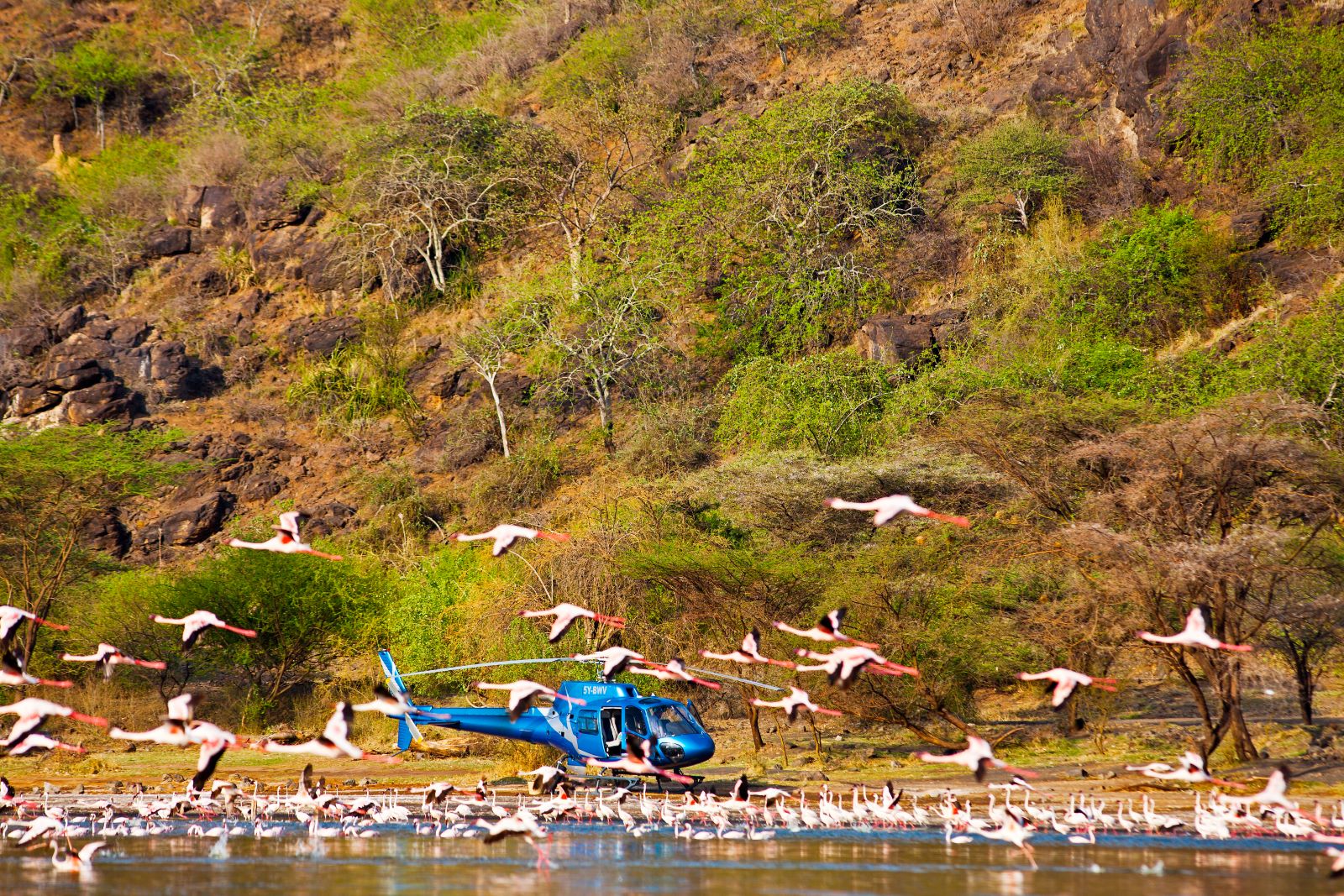
For all the doubts which were held for it when it was created a bird sanctuary, the first in Africa, in l960, in the few years preceding Kenya’s Independence at the end of l963, Lake Nakuru was to prove one of the country’s most popular — as well as one of the most beautiful and world-famous — of all Kenya’s national parks. Nothing in that respect has changed since. It still is.
The lake shores are surrounded by wooded and bush grasslands, offering wide ecological diversity from lake water and woodland to rocky escarpments and ridges. The euphorbia forest on the slopes of Lion Hill is said to be the world’s largest.

